Tracklog Animator
I coded a tool that turns a paragliding GPS tracklog into an animation. You can overlay it on video to show live position and altitude.
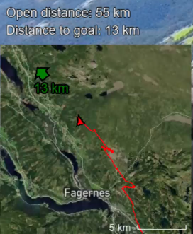
The animation visualizes data that helps the viewer stay oriented; like position, path flown, heading, distance flown and distance to goal:
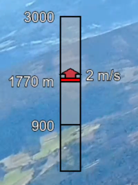
It also shows altitude. On this screenshot 900 is the ground elevation above sea level, 1770 m is the pilots altitude above sea level, and 2 m/s tells us the pilot is in a vertical wind, causing him to rise upwards at 2 m/s instead of decending.
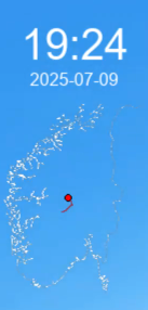
Lastly it shows a country map for geographical context, plus date and time.
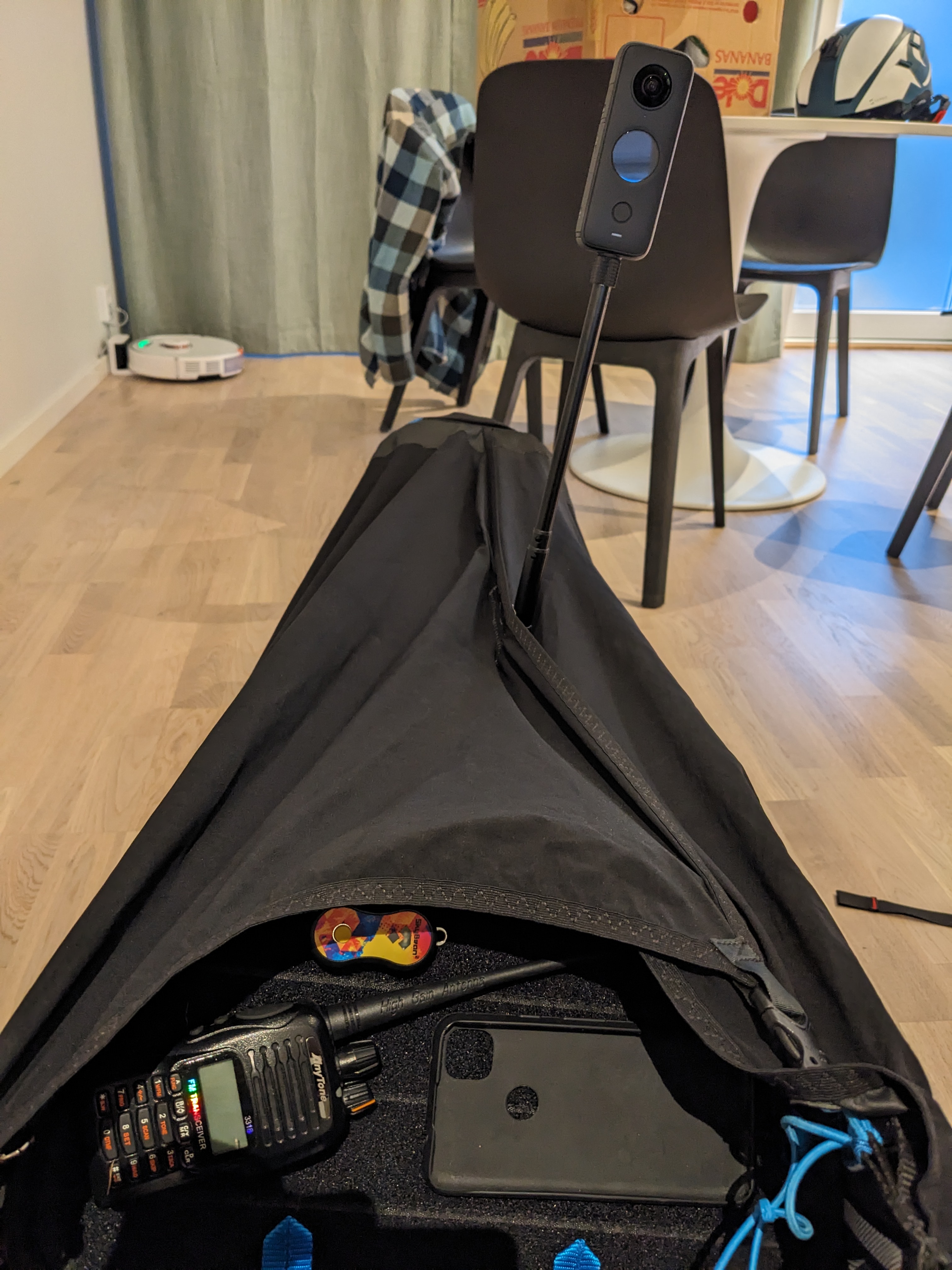
The footage was shot with a 360° camera mounted on my leg with a 3D-printed camera mount.
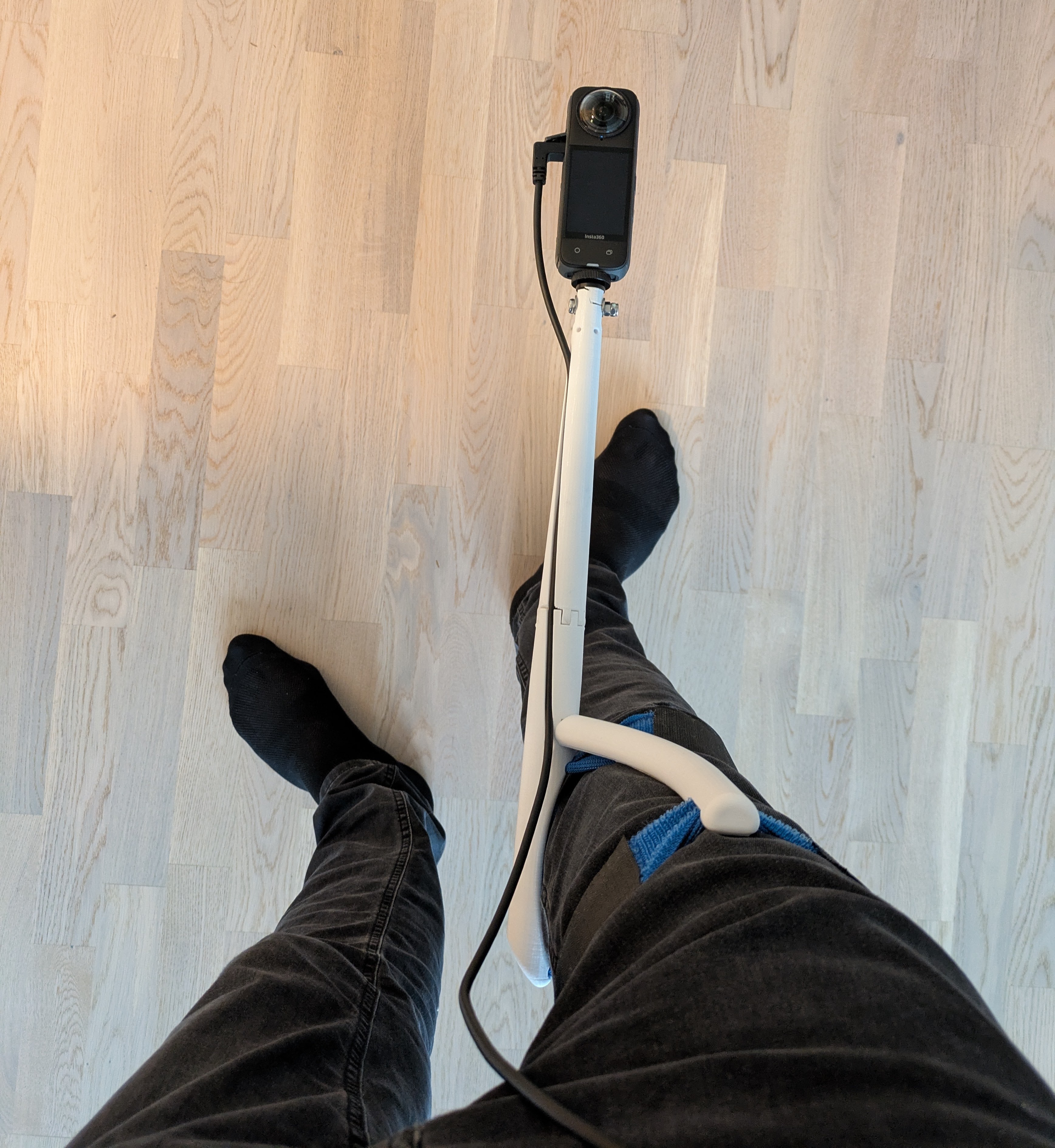
Approximate setup when flying:
Everything in this project was done by me: coding, 3D-printing, and I flew the paraglider.